GO AD-FREE. Get 2 Months Digital Subscription for ONLY £1! Use code 2FOR1
GET STARTEDMore on KentOnline
GO AD-FREE. Get 2 Months Digital Subscription for ONLY £1! Use code 2FOR1
GET STARTEDMore on KentOnline
Strong winds of up to 70mph are expected to batter Kent while hail and thunderstorms are also on the way.
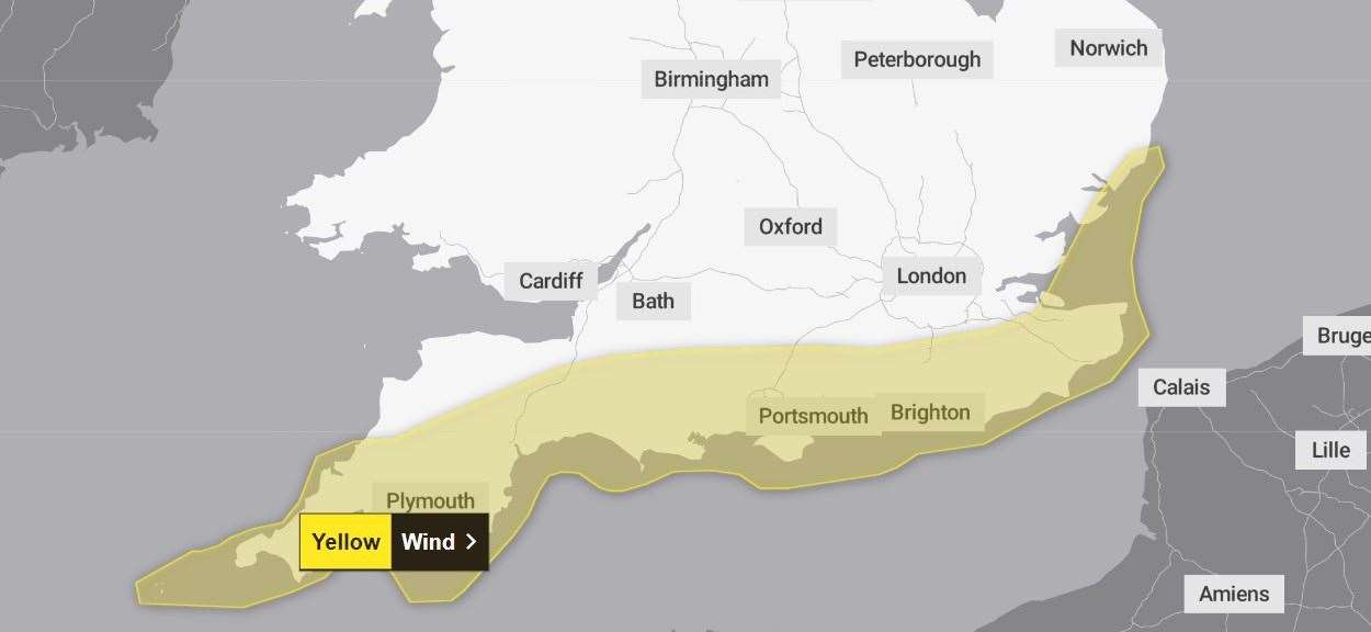
The Met Office has issued a yellow weather warning for wind saying hazardous conditions are expected throughout the day until midnight.
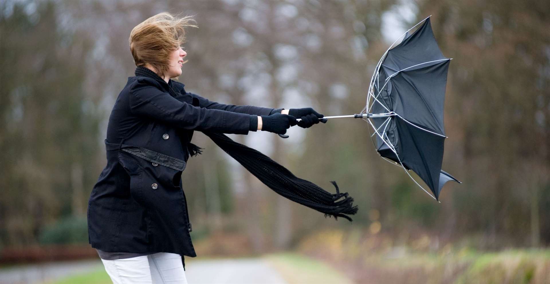
It says gusts of 50mph are expected, while some exposed coastal spots may experience gusts of 60 to 70mph, with large waves also likely.
The strong winds will be accompanied by heavy showers with the possibility of hail and thunder in some areas.
It adds, there is a small chance that “injuries and danger to life could occur” from large waves and beach material being thrown onto sea fronts.
Hail will not fall everywhere but where it does it could make road surfaces slippery, while surface water and spray are likely to worsen travel conditions.
Ferry services in Dover are likely to be affected and there is a chance some roads and bridges could close.
There is a slight chance that power cuts may occur and people are being warned to be prepared.
The warning covers the majority of the county and extends along the south coast of England.